Queen Street exists today, as the darker orange.
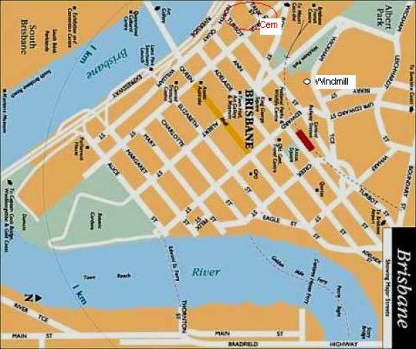
The windmill from 1844 still exists and is found in the kink in Wickham Tce.
Creek street today follows a similar alignment to creek in the foreground, presumably following the lower lying land that is Adelaide street through the bog that is King George Square today, continuing along Roma street.
The original North Quay (General Cemetery) was described as being "on the bank of the river on the curve of North Quay".
(Perhaps off the top of this modern map),
All the headstone photos in
North Quay, Brisbane
Names in photographed order.
Names in alphabetical order.
Latitude -27.46702593786628, Longitude 153.0147990027361
Latitude -27° 28’ 1", Longitude 153° 0’ 53"
GoogleMap
or GoogleEarth map application for North Quay, Brisbane. (What's this?)
All the cemeteries
© Copyright 1996-2024 Kerry Raymond and David Horton
