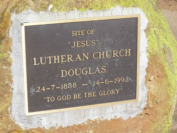
site of former church down the road,
Douglas Lutheran cemetery, Crows Nest Shire
All the headstone photos in
Douglas (Lutheran) Cemetery, Crows Nest Shire
Names in photographed order.
Names in alphabetical order.
Latitude -27.31745964600774, Longitude 151.9119210553695
Latitude -27° 19’ 3", Longitude 151° 54’ 43"
GoogleMap
or GoogleEarth map application for Douglas (Lutheran) Cemetery, Crows Nest Shire. (What's this?)
All the cemeteries
© Copyright 1996-2024 Kerry Raymond and David Horton
