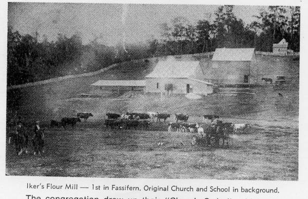
Iker's flour mill, (original) Domjahn's (Lutheran) Church and school
All the headstone photos in
Kalbar Old Lutheran (St Mark's) - Domjahn's Church
Names in photographed order.
Names in alphabetical order.
Latitude -27.94634819030762, Longitude 152.6394653320313
Latitude -27° 56’ 47", Longitude 152° 38’ 22"
GoogleMap
or GoogleEarth map application for Kalbar Old Lutheran (St Mark's) - Domjahn's Church. (What's this?)
All the cemeteries
© Copyright 1996-2025 Kerry Raymond and David Horton
`
